Sample Referenz: Drilling data in Federal State Office of Mecklenburg-Vorpommern
The State Office for Environment, Conservation and Geology in the Federal State Mecklenburg Vorpommern (LUNG-MV) has various drilling profiles as well as additional geodata that are relevant for groundwater issues. Those geodata should be made avaible for a larger audiance within the department without the need to buy or to learn a new complex software.

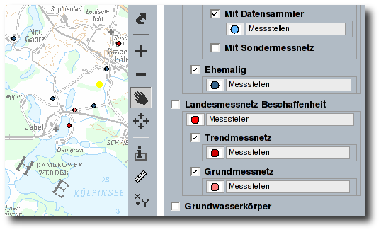
Besides the classical functions for map navigation the application provides several tools for analysis such as measurement of length and area. Furthermore you can see pictures and PDF-documents describing the drilling profiles.
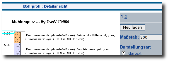
The drilling profiles themselves are stored in an Oracle database and are managed via a special software. In the web application the user can interactively trigger this software to render images of drilling profiles. The user can vary the scale and the layout of the profile.

Free Software Components:
- UMN MapServer with PHP/MapScript
- p.mapper
 Sitemap
 Deutsch