Sample Reference: WebGIS for federal association for waste management
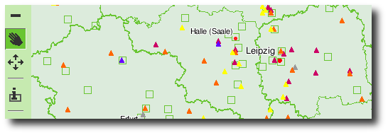
The german federal association for waste management (BDE) provides a webbased application for its members. It enables them to search for members and facilities by various criteria and to visualise the search results on an interactive map. You can also click on facilities on the map to get detailed information about the site. The application is publically availble on the BDE web-site.

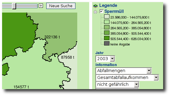
In a second step the WebGIS has been enhanced to enable statistical operations on the data of the BDE. The data are shown on color-coded maps and in charts. The user can choose the time scale and the geographic resolution (ranging from whole Germany to communities) of the resulting map.

Free Software Components:
- UMN MapServer with PHP/MapScript
- p.mapper
 Sitemap
 Deutsch