Example reference: AGRUA 2007 development
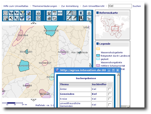
Intevation GmbH improved the "Agrar- und Umweltatlas" (Agriculture and environmental atlas, AGRUA) in 2007. Contractor was Landesamt für Umwelt und Naturschutz Schleswig-Holstein. The AGRUA-Atlas is also working in Mecklenburg-Vorpommern and Rheinland-Pfalz.

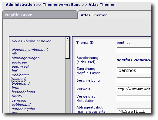
AGRUA is a webbased mapping-plattform with extraordinary functions for displaying and researching spatial data. Additionally there is an easy-to-use administration-panel for management of layers and other adminstrative works.

Some basic functionalities
Apart from various small improvements of this MapServer-based PHP application, also new features were implemented. Some of these are:- self-registration of users
- global search, based on the attribute-search by name
- adding a number-based search option
- implementing a spatial query over all enabled themes on a given point
- extending OGC-Client/Server-capabilities
- porting and finishing the backend-datastore to use with PostgreSQL
 Sitemap
 Deutsch